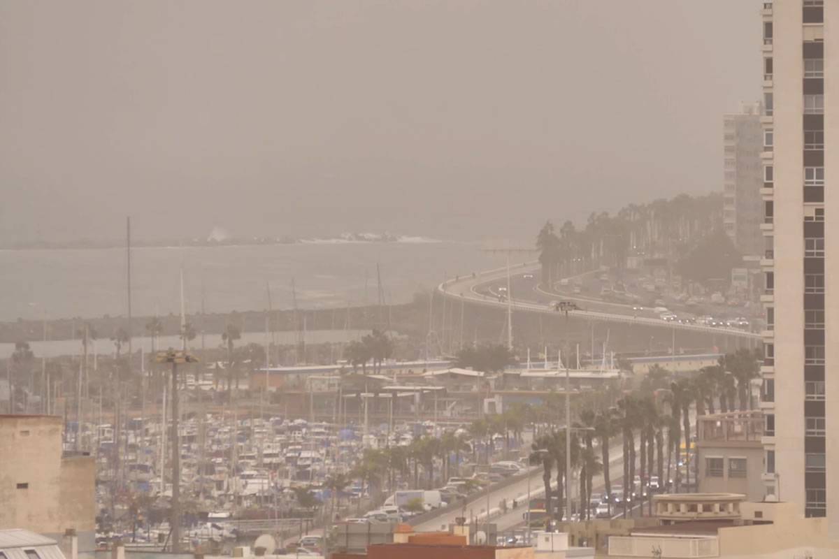
The calima has dropped but will get more intense later today
- 29-12-2022
- National
- AEMET .
The Canary Islands are gradually returning to normal, after the haze started to retreat yesterday (Wednesday), so much so that the General Directorate of Emergencies has ended their alerts for haze leaving the islands in a pre-alert state.
However, the suspended dust will not completely leave the archipelago, as the State Meteorological Agency (AEMET) are forecasting that the haze will get more intense towards the end of today (Thursday).
According to AEMET's latest forecast for the next few days, the calima will continue to be present on the islands until Saturday (New Year's Eve), although by then it will be classed as "light", and skies will be clear of haze on January 1st.
Today, the most significant meteorological phenomenon in the islands will be the wind, with very strong gusts forecast in the west of La Palma early in the day, and in the northeast of Tenerife this afternoon.
Yesterday the strongest winds in all of Spain were recorded in the Canary Islands, which were above 100km/h, in Izaña in Tenerife (103km/h), while Tijarafe and El Paso, in La Palma, had gusts of 85 and 81 kilometres per hour, respectively.
Strong winds and possible storms on Friday:
The wind will continue to be strong tomorrow (Friday) and very strong gusts are not ruled out in central peaks and inland in the north of Tenerife, as well as in the peaks of La Gomera and El Hierro.
At the same time, it is not ruled out that the rain will return to the islands on Friday, and they could be accompanied by electrical storms. AEMET say they are more likely during the first half of the day in the western islands and in the afternoon in the eastern islands.
Other articles that may interest you...
Trending
Most Read Articles
Featured Videos
TributoFest: Michael Buble promo 14.02.2026
- 30-01-2026
TEAs 2025 Highlights
- 17-11-2025


