Yellow weather warnings are activated across the Canary Islands for storms, rain and wind
- 21-03-2024
- National
- Canarian Weekly
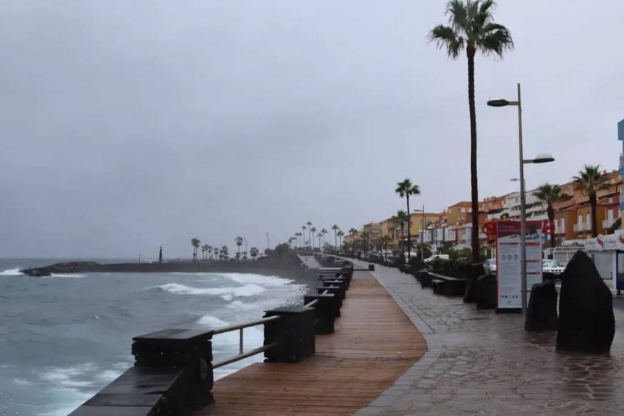
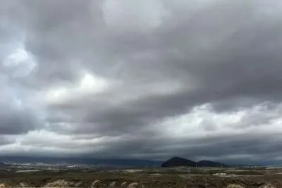
The arrival of a DANA to the Canary Islands has forced the State Meteorological Agency (AEMET) to activate yellow weather warnings for this weekend. They will come into effect in five of the islands from tomorrow (Friday) and will extend to the entire Archipelago on Saturday.
From tomorrow, Friday 22nd March, Tenerife, Gran Canaria, Fuerteventura and Lanzarote will be under a yellow warning from 9am for rain with an expected cumulative precipitation of 15mm an hour.
In the two capital islands, Tenerife and Gran Canaria, it will affect inland areas facing southeast, while in Lanzarote and Fuerteventura it will affect inland areas and the southeast slopes.
In addition, La Gomera will remain at risk from coastal phenomena with Force 7 north or northwest winds of 50 to 61 kilometres per hour in the east of the island, and in the channel between La Gomera and Tenerife.
On Saturday the entire Archipelago will have active warnings and be at ‘risk’ due to storms, rain, and wind:
TENERIFE:
There will be significant rain in the metropolitan area and north with an accumulated precipitation of 20mm per hour. In the east, south and west it will be 15 mm and will mainly affect inland areas.
There will be a risk of storms throughout the Island, and wind in the north with maximum gusts of 70 kilometres per hour on summits and inland.
LA PALMA, LA GOMERA AND EL HIERRO:
The three western islands will be under yellow warnings for rain, storms and wind with an accumulated precipitation of 20mm an hour and maximum gusts of 70 km/h on peaks and inland areas facing north.
GRAN CANARIA:
Yellow warnings for rain and storms in the north and at summits with accumulated precipitation of 20mm an hour, while in the east, south and west of the Island it will be 15mm.
FUERTEVENTURA AND LANZAROTE:
Yellow warnings for rain and storms with accumulated precipitation of 20mm in an hour, mainly affecting inland and mid-range areas facing north and northwest.
Other articles that may interest you...
Trending
Most Read Articles
Featured Videos
TributoFest: Michael Buble promo 14.02.2026
- 30-01-2026
TEAs 2025 Highlights
- 17-11-2025


