WEATHER: Forecast for Sunday and Monday as weather warnings deactivated
- 11-05-2025
- National
- Canarian Weekly
- Photo Credit: Stock Image
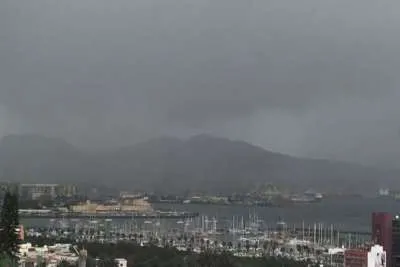
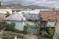
The State Meteorological Agency (AEMET) has announced that all active weather warnings for the Canary Islands have now been lifted, offering a welcome break after several days of rain, strong winds, and stormy conditions caused by an Atlantic low-pressure system.
Despite the improvement, the Canary Islands Government is maintaining a state of pre-alert in Tenerife, the western islands, and Gran Canaria, as a precaution, whilst the authorities continue to monitor the evolving weather conditions closely.
Forecast for Sunday
According to AEMET’s updated forecast for today, Sunday, cloudy skies with the chance of light rain are expected in the northern parts of the larger islands, especially during the early hours. Conditions should improve throughout the afternoon, with brighter intervals emerging.
In the eastern islands (Lanzarote and Fuerteventura) and the southern and western regions of the rest of the archipelago, variable cloud cover and dry conditions are expected. Temperatures will remain steady, with mild lows and slightly cool highs for the time of year.
North-westerly winds will blow at moderate strength, with stronger gusts in exposed coastal and mountainous areas, particularly overnight and in the early morning. The sea state remains rough, and caution is advised for small boats and those undertaking water activities.
What Does 'Pre-alert' Mean?
A state of pre-alert does not signal an immediate emergency but activates preventive monitoring and coordination protocols in case adverse weather develops. This status is used when moderate risk exists that could pose a threat to people, property, or the environment, especially in vulnerable areas such as mountain slopes or exposed coastlines.
The current pre-alert stems from the recent Atlantic system, which brought hazardous conditions to parts of the archipelago.
Government Recommendations
While no official warnings are currently in place, the Canary Islands Government urges residents and visitors to remain cautious:
- Avoid unnecessary travel in mountainous or ravine areas.
- Stay away from shorelines where waves may break forcefully.
- Secure loose objects on balconies and rooftops.
- Monitor updates from AEMET and local civil protection services.
Authorities stress that the weather in the islands can shift rapidly, particularly in spring and autumn, when Atlantic storms are more frequent.
Outlook for Monday
Looking ahead to tomorrow, Monday, AEMET forecasts partly cloudy skies, with thicker cloud expected overnight in the northern areas of the mountainous islands. Afternoon cloud development is likely in inland areas on southern and eastern slopes, potentially leading to isolated light showers.
Temperatures will stay consistent, with mild minimums and modest maximums. Winds will be light to moderate from the north, influenced by local breezes, and expected to strengthen as the day progresses. In the high elevations of Tenerife and La Palma, moderate westerly winds may reach strong intervals.
The weather remains unstable, and both authorities and the public are advised to stay alert for sudden changes and consult official channels when planning outdoor activities.
Other articles that may interest you...
Trending
Most Read Articles
Featured Videos
TributoFest: Michael Buble promo 14.02.2026
- 30-01-2026
TEAs 2025 Highlights
- 17-11-2025


