Government declares new pre-alert and yellow weather warning in the Canary Islands


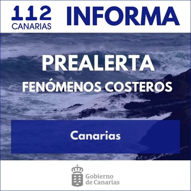
The Government of the Canary Islands has declared a new pre-alert for coastal phenomena from 8:00am tomorrow, Saturday 8th March, due to worsening sea conditions expected throughout the weekend.
The alert is active for the northern coasts of La Gomera, Tenerife, and Gran Canaria; the northern and western shores of El Hierro, Fuerteventura, and Lanzarote; and the western, northern, and northeastern coasts of La Palma.
The decision is based on data provided by the State Meteorological Agency (AEMET) and other official sources under the framework of the Canary Islands' Specific Emergency Plan for Adverse Weather Risks.
Extended Yellow Warning from AEMET
AEMET has expanded its yellow warning for coastal phenomena across the archipelago. The alert will be active from midday tomorrow (Saturday) for the eastern and western coasts of La Palma. In the afternoon, it will extend to Lanzarote, El Hierro, the northern and metropolitan areas of Tenerife, and the western part of Fuerteventura.
On Sunday, the alert will remain in effect all day in Lanzarote, while in Fuerteventura, it will conclude in the early morning. For La Palma, El Hierro, and Tenerife, the warning will be in place until midday.
Weather Forecast: High Waves and Strong Winds
The forecast indicates a significant deterioration in sea conditions, with a combined north-westerly sea and waves reaching heights of between three and five metres. Winds are expected to blow from the northeast at variable speeds of 12 to 28 kilometres per hour, with gusts of up to 38 kilometres per hour in some areas. The sea state will range from rough to very rough, with a noticeable north-westerly swell.
Safety Recommendations for the Public
The Canary Islands Government has urged residents and visitors to take extreme caution in the affected areas and avoid risky situations. Key recommendations include:
- Avoid walking along the coast and driving on roads close to the shoreline, or taking selfies in dangerous areas.
- Postpone any nautical or sporting activities during the pre-alert period.
- Observe warning flags and do not swim in isolated or unsupervised areas.
- Steer clear of piers, breakwaters, and areas near the sea to avoid being hit or swept away by waves.
- Move away from the coast if an increase in wave activity is observed, even if conditions appear to calm down later.
- Warn others if they are in dangerous areas.
- In an emergency, call 112 immediately and provide detailed information about the situation.
The authorities will continue to monitor the weather situation closely and will provide updates as needed to ensure public safety during this period of adverse weather conditions.
Share:


