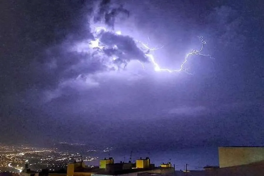
The Canary Islands prepare for ‘possible intense storms’ early next week
- 05-09-2025
- National
- Canarian Weekly
- Photo Credit: La Provincia
The Canary Islands could experience a short but intense spell of stormy weather early next week, catching the tail of a weather front heading towards mainland Spain and Europe, according to forecasts from the European Centre for Medium-Range Weather Forecasts (ECMWF).
Meteorologists have described the scenario as “complex and difficult to predict”, advising residents and visitors to keep a close eye on updates in the coming days. The unsettled weather is expected to peak on Monday or Tuesday when thunderstorms are most likely.
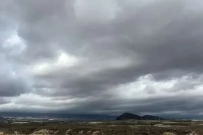
The Spanish State Meteorological Agency (AEMET) has issued a forecast of cloudy intervals with mid and high cloud, and a chance of occasional showers. These are expected to be heavier inland of Tenerife and Gran Canaria, before easing later in the day.
In addition, a haze of calima is likely at higher altitudes, particularly in Lanzarote and Fuerteventura, with temperatures dipping slightly. Winds are forecast to remain light from the northeast at lower levels, shifting to light or moderate southerlies in mid-range and higher areas.
Showers are expected on higher ground across the Canary Islands from Sunday, with the possibility of unsettled conditions continuing into the following days.
About the ECMWF
The ECMWF is regarded as one of the world’s most reliable medium-range forecasting models, providing outlooks between five and ten days ahead. Its predictions are frequently compared with those of the American (GFS), Canadian (GEM), and British (UKMO) models.
In complex, localised scenarios such as thunderstorm formation over the Canary Islands, the ECMWF can sometimes highlight weather events that other models fail to capture as clearly. Nevertheless, as with all meteorological forecasting, a degree of uncertainty remains.
Other articles that may interest you...
Trending
Most Read Articles
Featured Videos
TributoFest: Michael Buble promo 14.02.2026
- 30-01-2026
TEAs 2025 Highlights
- 17-11-2025


