
TUESDAY WEATHER: Cloudy north, sunny south, and up to 32°C across the Canary Islands
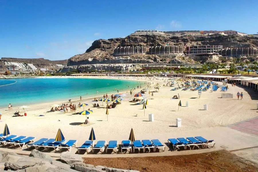
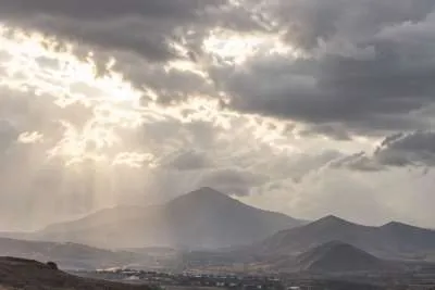
The Canary Islands are forecast to have a mixture of cloudy skies, sunshine and moderate to strong winds today, Tuesday, with temperatures reaching as high as 32°C in some areas.
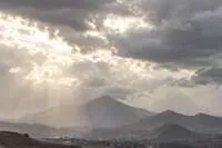
Cloudier conditions will mainly affect northern parts of the islands, while the south should enjoy much clearer skies. Temperatures will remain broadly unchanged following the recent hot spell.
There is also a chance of light drizzle during the early morning and late evening in north-eastern parts of Tenerife and the western islands.
The hottest conditions are expected in the southeast of Fuerteventura and the mid-altitude areas of southern and eastern Gran Canaria, where temperatures could locally reach 32°C. Similar temperatures cannot be ruled out in southern parts of Tenerife.
Strong winds in exposed areas
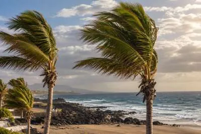
Moderate north-easterly winds will affect much of the Archipelago, becoming stronger around the southeast and western extremes of the mountainous islands.
Conditions at sea will also be unsettled, with north to north-easterly Force 4 or 5 winds, moderate to rough seas and a northerly or north-easterly swell of between one and two metres.
Island-by-island forecast for Tuesday 11th August 2026:
Tenerife
Northern Tenerife will start the day cloudy, becoming more broken during the daytime. Elsewhere, skies will generally remain clear or only slightly cloudy, although some occasional cloud is possible on the southern slopes.
There is also a chance of light drizzle in the northeast during the night.
Temperatures will remain largely unchanged, although they could locally reach 30°C in south-facing mid-altitude areas and some lower parts of the southern side of the metropolitan area.
Moderate north-easterly winds will become stronger at the southeast and western extremes of the island, as well as on the southern side of the metropolitan area, where very strong gusts cannot be ruled out. Southwestern coastal areas should experience lighter breezes.
General temperature range: Low of 24°C, high of 30°C.
Gran Canaria
Northern areas will be predominantly cloudy, although conditions should become more broken around the middle of the day. The rest of Gran Canaria will generally see clear or slightly cloudy skies.
Temperatures are expected to reach 30°C in mid-altitude areas of the south and east, with isolated readings of 32°C possible.
Moderate north-easterly winds will become strong at the southeast and western ends of the island, where very strong gusts are also possible. Southern coastal areas will experience lighter breezes.
General temperature range: Low of 23°C, high of 30°C.
Lanzarote
Northern Lanzarote will be cloudy initially before becoming clearer during the daytime, while the rest of the island should remain mostly clear.
Temperatures will show little change, accompanied by moderate north-easterly winds.
General temperature range: Low of 22°C, high of 30°C.
Fuerteventura
Cloudy intervals are forecast along the eastern and western coasts at first, becoming clearer during the day. Elsewhere, skies will generally remain clear or only slightly cloudy.
Temperatures will remain similar, reaching around 30°C in the southeast, with isolated highs of 32°C possible.
Moderate north-easterly winds are expected, becoming occasionally strong in the south of Jandía.
General temperature range: Low of 22°C, high of 29°C.
Overall, Tuesday will bring fairly typical summer conditions to much of the Canary Islands, although strong winds, rougher seas and temperatures above 30°C in some southern and inland areas mean residents and holidaymakers should take appropriate care when outdoors or heading to the coast.
Share: