
Cooler temperatures and scattered rain showers in the Canary Islands this weekend
After experiencing the first major heatwave of the summer, the Canary Islands are set for a change in the weather this weekend, with cooler temperatures and some light rain across parts of the archipelago.
Friday marked the official end of the recent hot spell, which saw temperatures climb above 40°C in some inland areas. As the trade winds strengthen once again, conditions are expected to return to more typical July levels, bringing cooler air and increased humidity.
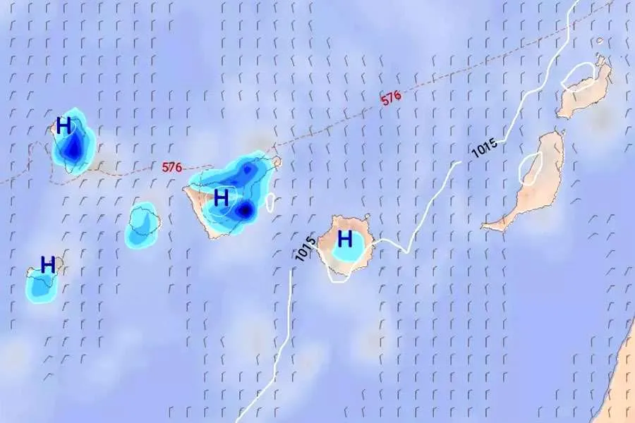
According to the European Centre for Medium-Range Weather Forecasts (ECMWF), a weak weather front will approach the islands from the north today, Saturday, bringing scattered showers as it moves south-west across the archipelago.
The front is expected to reach La Palma first before spreading to Tenerife, La Gomera, El Hierro and Gran Canaria.
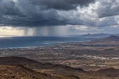
While rainfall is expected to be generally light and patchy, the heaviest showers are likely to fall in eastern Tenerife and eastern La Palma.
Weekend forecast>
Saturday
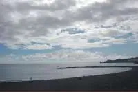
Cloudy skies and light rain are expected during the morning across Lanzarote, Fuerteventura and the northern parts of the other islands, with sunnier conditions elsewhere.
During the afternoon, cloud is forecast to build over southern and south-eastern mid-altitude areas, where a few isolated showers are also possible.
Temperatures will remain largely unchanged, although highs may rise slightly in Lanzarote and Fuerteventura. In the mountainous islands, inland areas will become a little cooler, while coastal temperatures change very little.
Light to moderate northerly winds will continue, turning westerly over the mountain summits.
Sunday
Further cloudy intervals are expected in Lanzarote, Fuerteventura and the north of the remaining islands, with a chance of light showers during the early morning and evening.
Most areas should become brighter during the afternoon, although cloud will build over the southern, south-eastern and western slopes of the higher islands, where an isolated shower cannot be ruled out.
Temperatures will remain steady along the coast, with a slight drop inland, while light to moderate north-easterly winds continue.
Monday
The start of the new week will bring a mix of cloud and sunshine. A few light, isolated showers are still possible in the north of the mountainous islands early in the day, but most areas are expected to stay dry.
Minimum temperatures will remain similar or fall slightly, while daytime highs may edge up a little. North-easterly winds will continue across the islands, with light westerly winds over the highest peaks.
Although the rain is not expected to be significant, it will provide a noticeable contrast to the extreme heat experienced earlier this week and should bring more comfortable conditions for both residents and holidaymakers.
Share: