
Calima returns to the Canary Islands as temperatures hit 32°C
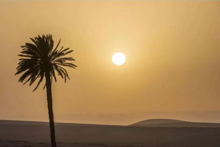
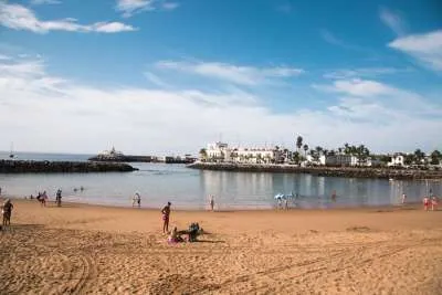
Calima is set to return to the Canary Islands today, Wednesday, bringing hazy skies and temperatures of 30°C to 32°C in parts of the Archipelago, according to the latest weather forecast from AEMET.
Most areas will enjoy clear or mostly sunny conditions, although moderate north-easterly winds will continue, becoming strong in exposed locations with the possibility of very strong gusts at times.
Rough conditions at sea
Conditions around the Canary Islands will also remain unsettled at sea. North-easterly winds, potentially turning northerly in some areas, are forecast at force 5 to 6, producing moderate to rough seas.
A swell of between one and two metres is also expected, coming from the south in some areas and the north in others.
Residents and visitors should therefore expect another hot and predominantly sunny day across much of the Canary Islands, but with calima, strong winds and rougher sea conditions affecting some areas.
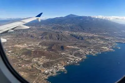
Tenerife to reach 30°C in the south
Tenerife will have some cloudy intervals in the north-east during the morning, becoming sunnier during the afternoon.
The rest of the island will be mostly clear or sunny, although some patches of cloud may develop later in the day.
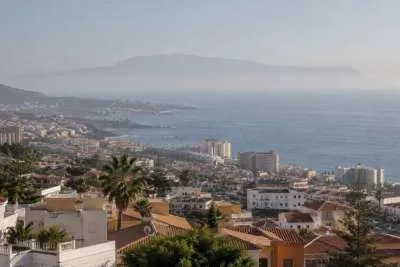
Temperatures will remain similar to Tuesday or fall slightly, with highs of around 30°C expected in low-lying areas of southern Tenerife, as well as on the southern side of the metropolitan area.
Moderate north-easterly winds are forecast, becoming strong at times in the south-east and extreme north-west of the island. AEMET says occasional very strong gusts cannot be ruled out during the first half of the day.
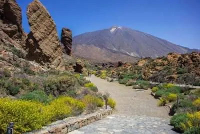
Moderate westerly winds are expected over Tenerife's central peaks, while south-western coastal areas will see local sea breezes.
General temperature range: 23°C minimum / 30°C maximum.
Up to 32°C in Gran Canaria
Northern Gran Canaria will start the day cloudy, although large sunny spells are expected to develop during the afternoon.
Elsewhere, conditions will be mostly clear with occasional high cloud.
Temperatures could reach 30°C to 32°C in the south-east and western mid-altitude areas.
Moderate north-easterly winds will become strong on the south-eastern and north-western slopes, where occasional very strong gusts are possible during the first half of the day.
General temperature range: 21°C minimum / 29°C maximum.
Calima reaches Lanzarote and Fuerteventura
Lanzarote will be mostly clear with some high cloud and low cloud affecting northern areas during the morning.
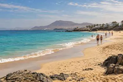
A light calima at higher altitudes is expected during the second half of the day, with temperatures reaching around 30°C in the south-east.
Moderate north-easterly winds could become strong across inland parts of the southern half of the island, with a chance of very strong gusts during the morning.
Fuerteventura will also see mostly clear skies with some high cloud, while light calima is forecast at altitude later in the day.
The south-east of the island could reach 30°C to 32°C, despite temperatures elsewhere remaining unchanged or falling slightly.
Strong winds are possible south of Jandía during the first half of the day, with occasional very strong gusts not ruled out.
General temperature range: 22°C minimum / 28°C maximum.
Share: