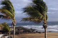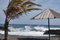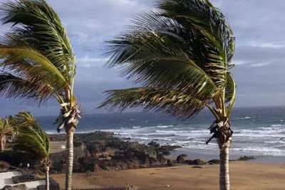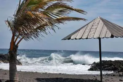

New storm puts all of the Canary Islands on alert for strong winds
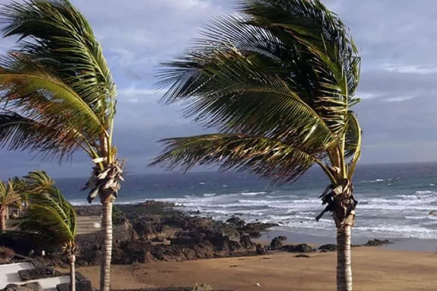
The Canary Islands are preparing for another spell of severe weather as Storm Charles approaches the archipelago, bringing strong winds, rain and rough seas just days after Storm Bruna passed through the islands.
The regional government has declared a wind alert for all islands from 6.00pm today, Tuesday 10th November. Winds are expected to strengthen from this afternoon, with the most widespread effects forecast during tomorrow, Wednesday.
The alert applies across the archipelago, although the strongest gusts are expected in higher and exposed areas rather than uniformly across every town and resort.
Storm Charles is expected to bring stronger winds than Bruna, particularly in exposed and higher areas, where gusts could exceed 120 km/h in parts of Tenerife and La Palma on Wednesday.
Bruna’s front arrived weaker than forecast on Sunday, bringing less rain than feared, although it still produced a gust of 112 km/h at Izaña in Tenerife. Charles could also bring heavy rain, particularly to La Palma, but its precise impact will depend on how the storm develops.
Where will the strongest winds hit?
In Tenerife, gusts could reach around 110 km/h in exposed parts of the north, east, south and west from tonight. Higher ground and exposed coastal areas are expected to be particularly affected.
On Wednesday, gusts could exceed 120 km/h in some exposed areas of Tenerife and La Palma. The government says it will continue to monitor the forecast and could update the alert if necessary.
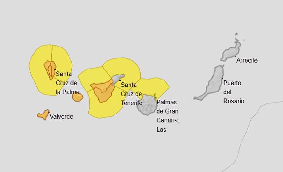
AEMET weather warnings for Tuesday 10th November 2026.
In Gran Canaria, winds are expected to intensify during the early hours of Wednesday, with gusts of around 90 to 100 km/h in exposed areas and potentially more than 110 km/h on the summits.
Lanzarote and Fuerteventura could see gusts of 90 km/h or more on Wednesday, particularly in northern and northwestern areas. La Gomera and El Hierro are also expected to experience very strong winds.
Orange warnings and heavy rain
Spain’s weather agency, AEMET, has issued separate colour-coded warnings. In Tenerife, an orange wind warning is scheduled to begin at 9.00pm tonight in the north and the eastern, southern and western areas. The first orange warning begins earlier, at 6.00pm, in parts of La Palma.
Warnings extend to other islands on Wednesday. AEMET’s orange warning indicates a significant weather risk in the areas and during the times specified.
Rain is also expected as the front moves across the islands, with the heaviest and most persistent rainfall forecast for La Palma. Tenerife and other islands could also experience heavy showers, while sea conditions are expected to deteriorate.
Residents and holidaymakers should secure loose objects on balconies and terraces, take care when driving in exposed areas and stay away from dangerous coastal edges. Anyone planning outdoor activities or travel should check the latest local updates, as warnings and restrictions may change.
Share: