
STORM BRUNA: Weather warnings are downgraded across the Canary Islands

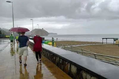
The Canary Islands Government has downgraded its rain alert following the passage of Storm Bruna, after the weather front reached the islands weaker and with less impact than originally forecast.
The change took effect at 6.00pm yesterday, Sunday 8th November, moving Tenerife, Gran Canaria, La Palma, La Gomera and El Hierro from a rain alert to a pre-alert. Lanzarote, Fuerteventura and La Graciosa were already on rain pre-alert.
The coastal alert was also downgraded to a pre-alert for Tenerife and the exposed northern and western coasts of the other islands. The separate regional pre-alert for flooding was ended.
A pre-alert means authorities are monitoring a potential risk and advising the public to remain aware of changing conditions. It is separate from the yellow, orange and red warnings issued by Spain’s national weather agency, AEMET.
Strong winds and flight disruptions
Although the rain was less intense than feared in many areas, strong winds caused incidents across the islands. A gust of 112 km/h was recorded at Izaña in Tenerife, while trees fell and objects were blown into roads in several locations.
A person in La Palma was injured after being struck by a chair blown by the wind. Weather conditions also disrupted flights to La Palma, with seven flights diverted according to a report issued yesterday afternoon.
Gran Canaria event restrictions lifted
The Gran Canaria Cabildo has reversed its island-wide suspension of public and private events after the forecast was revised. The suspension had covered events indoors and outdoors.
Anyone planning to attend an event should still check with its organiser, as individual cancellations or changes may remain in place.
More unsettled weather possible
Monday is expected to bring a general improvement, with lighter winds and fewer showers. However, the sea may remain rough, particularly along exposed northern and western coastlines.
AEMET’s latest information also points to the possibility of heavy rain and strong winds later on Tuesday and Wednesday, associated with a separate low-pressure system near the islands. The forecast remains uncertain, and the areas most affected may change.
Residents and visitors should continue to follow official updates, particularly before travelling to the coast, mountains or areas prone to flooding.
Share: