
THURSDAY WEATHER: Conditions improve in the Canary Islands as Storm Charles moves away
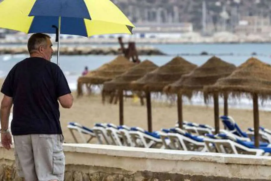
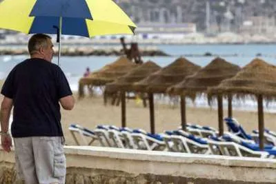
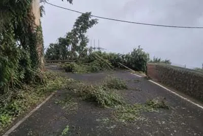
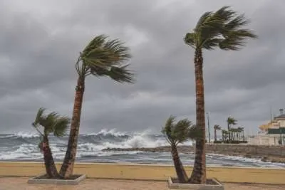
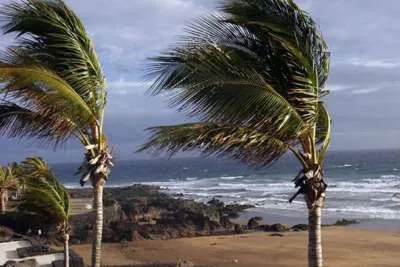
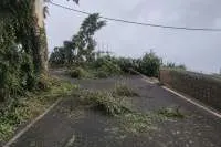
The Canary Islands can expect a gradual improvement in the weather today after Storm Charles brought strong winds, rain and travel disruption across the archipelago yesterday (Wednesday).
Cloud and showers are likely to linger this morning, with some locally heavy rain possible before conditions begin to improve. Winds are also expected to ease, although the sea will remain rough around exposed coastlines.
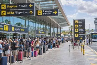
Yesterday, AEMET recorded a gust of 148 km/h at Izaña in Tenerife and 122 km/h at Cruz de Tejeda in Gran Canaria. Charles also caused flight cancellations and diversions across the islands.
Latest weather warnings
The Canary Islands Government has reduced its maximum wind alert for La Palma and Tenerife’s summits, its latest available listing still shows active wind and coastal alerts, alongside rain and flooding alerts or pre-alerts affecting different islands.
AEMET’s colour-coded warnings are separate from the regional government’s alerts. Both can change as conditions improve, so residents and visitors should check the latest updates before travelling or planning outdoor activities.
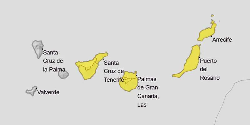
AEMET weather warning map for Thursday 12th November.
Island-by-island forecast for today:
TENERIFE
Tenerife starts the day cloudy, with showers possible, particularly in the north. Some may have been locally heavy overnight, but the rain is expected to become less frequent as the day goes on.
Puerto de la Cruz and other northern areas could remain cloudier for longer. Costa Adeje, Los Cristianos and Playa de Las Américas should also see a mixture of cloud and brighter spells, although occasional showers cannot be ruled out.
Winds will ease compared with Wednesday, but exposed coasts and high ground may still feel blustery. Temperatures are expected to fall slightly.
General temperature range: 20–26°C.
GRAN CANARIA
Gran Canaria can expect a cloudy start, with showers possible during the morning, especially in the north and inland areas. Some rain could be locally heavy before easing.
Maspalomas, Playa del Inglés and Puerto Rico may see brighter intervals develop as the day progresses, although cloud and the odd shower are still possible.
Northerly winds will affect the coast, while higher areas should become less windy later. The sea will remain unsettled, so check beach flags before entering the water.
General temperature range: 21–25°C.
LANZAROTE
Lanzarote may begin the day with cloud and showers, some of which could be locally heavy. Rain should become less frequent as the morning progresses, followed by a mixture of cloud and brighter periods.
Puerto del Carmen, Costa Teguise and Playa Blanca could see improving conditions during the afternoon. The northwesterly wind is forecast to ease later, although exposed beaches may remain windy.
Swells of more than three metres are possible along parts of the north and west coast, so visitors should keep well back from breaking waves.
General temperature range: 20–25°C.
FUERTEVENTURA
Fuerteventura will be cloudy at first, with a chance of locally heavy showers until mid-morning. Rain should then ease, although an isolated shower remains possible later.
Corralejo, Caleta de Fuste, Costa Calma and Morro Jable can expect a mix of cloud and clearer spells as conditions improve. Northwesterly winds will gradually become lighter.
The sea will take longer to settle than the wind. Take care around exposed beaches and follow local warnings and lifeguards’ instructions.
General temperature range: 20–25°C.
Share: