AEMET warns of strong winds across the Canary Islands this Wednesday

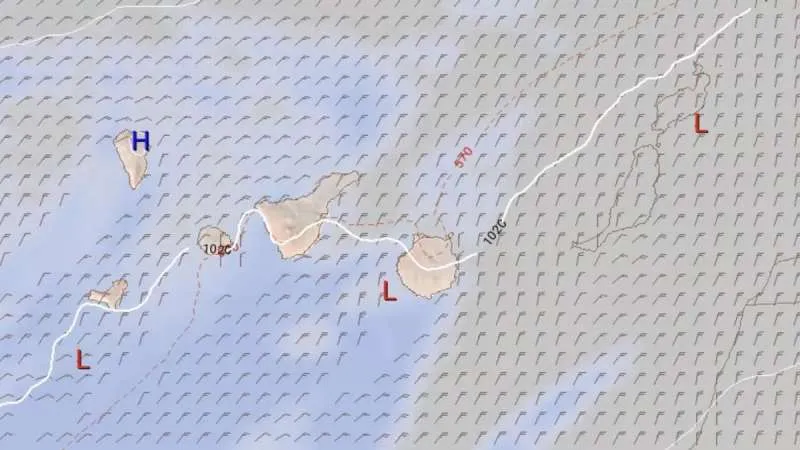
The Spanish Met Office (AEMET) has issued a warning for very strong gusts of wind across parts of the Canary Islands today, Wednesday, particularly affecting southeastern and northwestern slopes of the more mountainous islands such as Tenerife and Gran Canaria.
The trade winds are expected to blow with strong intervals, and occasional very strong gusts may develop throughout the day. Skies will be generally cloudy in the north of the islands and clearer in the south, especially during the early and late hours of the day.
At sea, northeasterly winds are forecast at force 4 to 5, strengthening locally to force 6, particularly along the southeast and northwest coasts of the mountainous islands, and on the eastern and western shores of Lanzarote and Fuerteventura.
Expect moderate to rough seas in Gran Canaria and the eastern islands, and slight to moderate seas around Tenerife and the western islands. A northern swell of 1 to 2 metres is also anticipated.
Island-by-Island Forecast:
LANZAROTE:
Generally mostly clear, though cloudier in the north during early morning and late evening. Some high cloud expected overnight.
Winds: Strong intervals of trade winds.
Temperatures: Minimum of 18°C and maximum of 26°C
FUERTEVENTURA:
Partly cloudy in the north and west, becoming clearer during the central hours. Elsewhere, mostly sunny, with some high cloud overnight.
Little change in temperatures overall, except for a slight rise in inland and eastern areas.
Winds: Trade winds with strong intervals.
Temperatures: Minimum of 19°C and maximum of 25°C
GRAN CANARIA:
Expect cloudy skies with some sunshine around mid-day in the north of the island, whereas it will be clearer in southern and inland areas.
Stable temperatures overall, with slightly warmer conditions in the southern highlands.
Winds: Strong trade winds, with occasional very strong gusts on southeastern and northwestern slopes. Light breezes along the southwest coast.
Temperatures: Minimum of 20°C and maximum of 24°C
TENERIFE:
Partly cloudy, with more persistent cloud cover in the north. Little change expected in temperatures
Winds: Strong trade winds, with occasional very strong gusts in the southeast and far northwest. Breezes on western coasts. Light westerly winds expected on central peaks.
Temperatures: Minimum of 19°C and maximum of 26°C
The public are advised to take precautions against strong gusts, particularly those in exposed or mountainous areas, and unstable sea conditions. Coastal and outdoor activities may be affected, and boaters should exercise caution.
Share: