Maximum alert should be lifted today as Hermine heads away from the Canary Islands
- 26-09-2022
- National
- Canarian Weekly
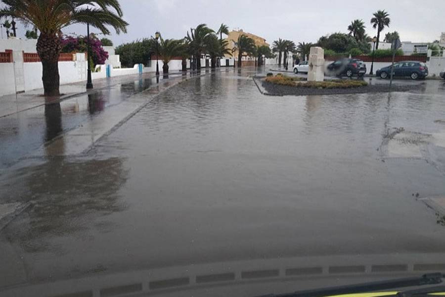
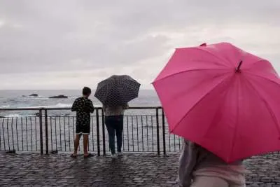
After a difficult weekend on some of the islands due to the number of incidents derived from accumulated rainfall, which reached almost 200 litres per m2 in various places, the latest prediction models see an improvement in the weather front in the Canary Islands today and tomorrow, and the maximum alert is scheduled to be lifted at midday.
This has been reported after the latest technical coordination meeting on Sunday night, in which the progress of Hermine was evaluated, which has now turned into a post-tropical storm, as it has weakened and is heading out towards the Atlantic.
However, more rain is expected in the next few hours, accompanied by a possible electrical storm and, subsequently, the maximum alert throughout the Canary Islands will remain at least until midday today, with another technical meeting at 10am this morning to confirm this.
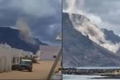
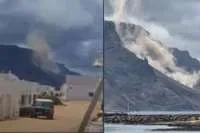
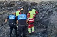
In terms of incidents, more than 1,800 people were left without electricity yesterday, street lights and traffic lights were affected by power outages, there have been a total of 24 roadblocks and 30 landslides reported due to flooding, 252 flights cancelled, 38 flights diverted, and the CD Tenerife footbal team were diverted to Fuerteventura as they couldn't land in Tenerife.
Eurocontrol activated a ‘Zero Rate' for flights to Gran Canaria and Tenerife yesterday evening, meaning that, no flight (not already in the air) to these destinations can leave its airport of origin until it is deactivated.
During this episode of adverse weather, the Red Cross have made 11,000 calls to vulnerable people who have telecare service.
Deactivation of maximum alert:
Assuming that the alert is deactivated at midday, four Canary Islands will return to normal straight away with all risk warnings lifted, while the rest, where the weather has been the worst, will be considerably reduced.
Until midnight last night, Gran Canaria, La Palma, and El Hierro were still on red warning for extreme risk due to rain; La Gomera and Tenerife, in orange warning; and Fuerteventura and Lanzarote in yellow.
These last two islands, the least affected by the storm, have now become green (without risk) since 6:00am this morning (Monday).
Gran Canaria went down to orange from 6am this morning, and is expected to go to yellow from midday when the maximum alert will be lifted.
La Gomera, which went to a yellow warning from midnight, will go to green from midday.
El Hierro, La Palma, and Tenerife will remain on orange notice until midday today, and will then change to yellow. From tomorrow, Tuesday, all islands will be in a green situation (without risk).
These changes will be analysed and confirmed in this morning’s technical coordination meeting that starts at 10am.
Trending
Most Read Articles
Featured Videos
TributoFest: Michael Buble promo 14.02.2026
- 30-01-2026
TEAs 2025 Highlights
- 17-11-2025


