
TUESDAY WEATHER: Intense haze as calima continues across the Canary Islands

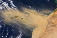
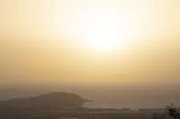
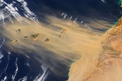
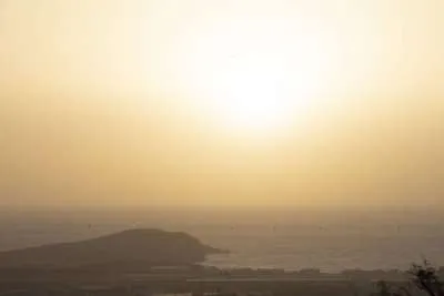
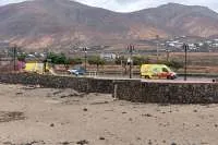
Temperatures will reach or exceed 30°C across the Canary Islands today, Tuesday 27th October, as haze will cover much of the archipelago from the calima.
Scattered rain is possible in the western islands, with a chance of isolated thunderstorms in parts of Tenerife and La Palma during daylight hours.
Calima pre-alert in all of the islands
The Canary Islands Government activated a calima pre-alert across the entire archipelago at 12.30pm yesterday (Monday), because of deteriorating air quality.
The dust initially affected higher ground most noticeably, particularly south-facing slopes on the mountainous islands yesterday, but from around midday today, it could become more significant at lower levels, including coastal areas.
Emergency officials expect it reach its greatest intensity on Wednesday, potentially bringing widespread airborne particle concentrations above 100 micrograms per cubic metre. People with respiratory conditions should pay particular attention to local air-quality information.
Sea Conditions
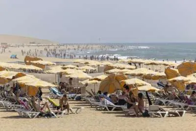
Northern coasts are expected to see waves around 1.5 metres, with smaller waves in sheltered southern waters. Beachgoers should follow local flags and lifeguard advice.
Today’s forecast for each of the islands:
TENERIFE
Occasional rain is possible inland, while the north and east have a low chance of an isolated thunderstorm or shower during the day, with extensive clouds giving the island a largely overcast appearance.
Temperatures will generally drop, particularly in north-facing inland areas. However, parts of the south could still reach or exceed 30°C, so the cooler trend will not be equally noticeable everywhere.
Calima will remain more pronounced on higher ground. Coastal winds will generally be light from the north-east, while exposed high summits will experience stronger south-westerly winds.
GRAN CANARIA
Extensive middle and high cloud will give the island a largely overcast appearance. Some lower cloud is also expected in the north from around midday.
Southern low-lying areas could reach or exceed 30°C. Conditions will vary with altitude and exposure, rather than following one temperature range across the island.
The dust will be most noticeable initially in the hills and mountains, with the possibility of a greater impact at lower levels as the episode develops. North-easterly coastal winds will generally remain light.
LANZAROTE
Middle and high cloud will cover much of the sky before breaking into intervals later in the day. The main concern will be calima, which could become more noticeable near ground level during the afternoon.
Temperatures could exceed 30°C in parts of the interior and south. These are local highs, with conditions varying elsewhere around the island.
Winds will generally be light from the north-east. Anyone planning an afternoon walk or outdoor activity should check how dusty conditions have become locally.
FUERTEVENTURA
Cloud will be extensive initially, with some breaks developing before cloud increases again towards the evening and night.
Parts of the interior, south-east and west could reach or exceed 30°C. Temperatures will generally be lower than yesterday, although these areas could remain distinctly warm.
Light north-easterly winds are expected. Calima could become significant in lower-lying areas during the afternoon, bringing a hazier outlook along parts of the coast.
Share: