
Canary Islands under four weather pre-alerts as Government urges caution from the public
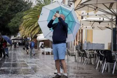
The Canary Islands are facing a challenging spell of weather today (Friday), with four separate pre-alerts in force for high temperatures, strong winds, dangerous coastal conditions and wildfire risk.
The Canary Islands Government's Directorate General for Emergencies is urging both residents and visitors to take extra care as strengthening trade winds, rising temperatures and worsening sea conditions affect different parts of the archipelago.
Strong winds expected across all islands
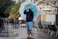
A pre-alert for strong winds came into force from 6:00pm yesterday (Thursday 23rd July) and covers all of the Canary Islands.
Forecasts indicate moderate to strong trade winds, particularly affecting lower-lying areas exposed to the west, south and south-east of the mountainous islands.
Wind gusts are expected to reach or exceed 80 km/h in parts of Gran Canaria, La Gomera and El Hierro, as well as the southern slopes of the Anaga massif and the Santa Cruz area in Tenerife.
Strong winds are also expected in Fuerteventura and Lanzarote, with very strong gusts possible in south-east inland Lanzarote and along the western and southern coasts of Jandía in Fuerteventura.
The winds are expected to strengthen further during the afternoon and evening.
Rough seas and waves over four metres offshore
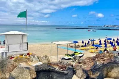
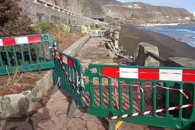
A coastal pre-alert also remains in place for Tenerife, Gran Canaria La Palma, La Gomera, and El Hierro.
The warning affects the east, south and west coasts of Tenerife and Gran Canaria, together with the coastlines of La Palma, La Gomera and El Hierro.
North-easterly winds of 50 to 61 km/h (Force 7) are expected in the sea channels between the islands, creating increasingly rough conditions throughout the afternoon and into the night.
The worst conditions are forecast in the channel between Tenerife and Gran Canaria, around La Gomera and El Hierro, south-east La Palma and south-east Gran Canaria.
Combined wave heights are expected to reach between three and 3.75 metres in inter-island waters, with waves of up to 4.25 metres offshore south of the Canary Islands.
Temperatures could reach 37°C
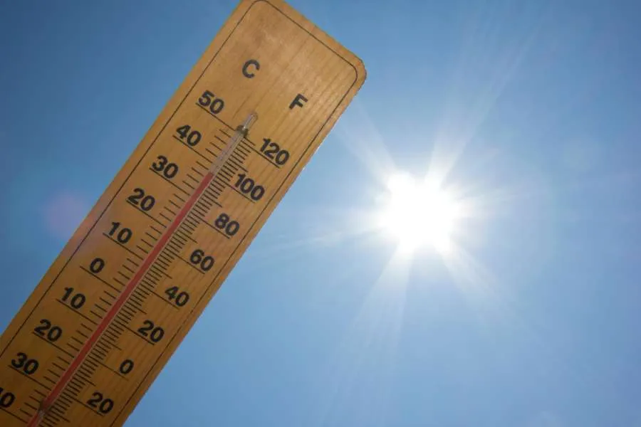
A separate heat pre-alert has been active for Fuerteventura, Gran Canaria and Tenerife. In Fuerteventura, temperatures of 30°C to 32°C are expected inland and along the south-east coast.
Gran Canaria is forecast to experience the highest temperatures, with more than 34°C in the Tejeda basin and southern and western mid-altitude areas above 500 to 600 metres. Some lower areas in the south-east of Gran Canaria could see temperatures climb to 37°C.
In Tenerife, temperatures of 30°C to 32°C are expected in the south-facing midlands and lower elevations, as well as parts of the Santa Cruz metropolitan area. Some locations could briefly reach 34°C.
Wildfire risk remains high
The fourth pre-alert concerns the ongoing risk of forest fires, which remains in force for La Palma, La Gomera, El Hierro, Tenerife and Gran Canaria throughout the summer high-risk season.
The measure forms part of the Canary Islands' Forest Fire Emergency Plan (INFOCA) and is expected to remain in place until at least 30th September, unless weather conditions change significantly.
Officials say the combination of high temperatures, low humidity and strengthening winds will increase the fire risk, particularly in forested and mid-altitude areas.
The Canary Islands Government has urged everyone to follow official advice, avoid activities that could spark a fire, take care around the coast, and stay informed as weather conditions develop throughout the day.
Share: