
Forecasters warn of possible thunderstorms on Monday
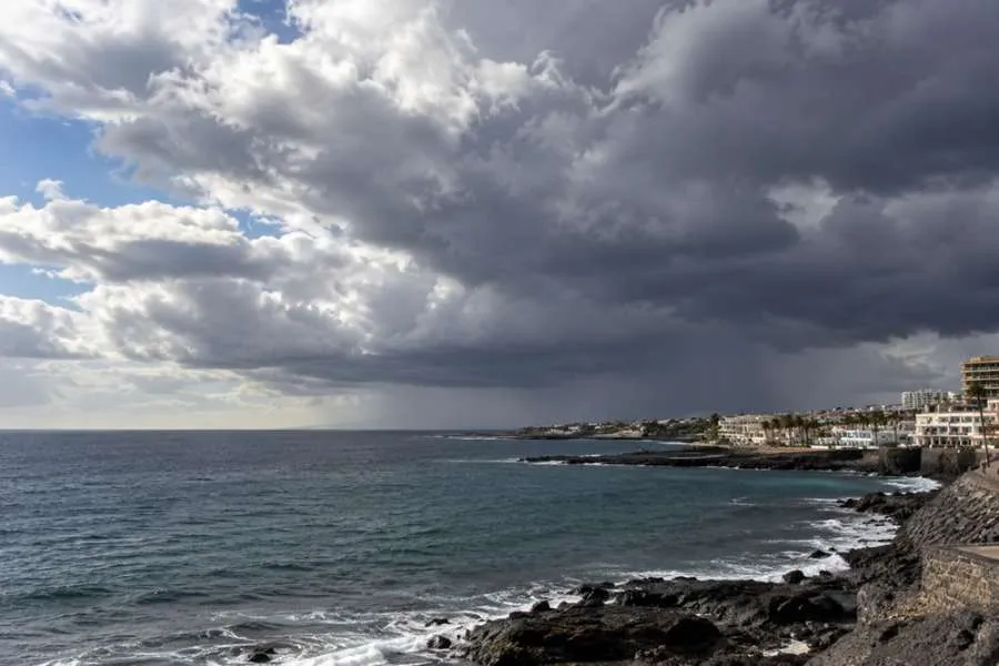
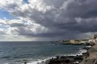
Forecasters are warning of the possibility of thunderstorms in parts of the Canary Islands on Monday, as increasingly unstable conditions develop across the archipelago.
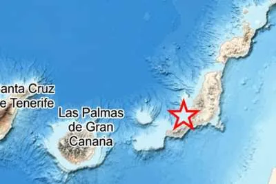
The main risk is expected during the afternoon, with Lanzarote, Fuerteventura and Tenerife among the islands where thunderstorms could develop.
In Lanzarote and Fuerteventura, increasing medium and high cloud will bring the possibility of scattered and occasional rain, generally light, but forecasters say isolated thunderstorms cannot be ruled during the afternoon.
Conditions will also become more unstable in Tenerife, particularly across northern and northeastern inland areas.
Cloud is expected to build during the afternoon, producing isolated showers which could be accompanied by thunderstorms.
Gran Canaria could also see showers developing over inland areas during the afternoon, although the current outlook puts greater emphasis on the possibility of thunderstorms elsewhere.
The change comes as temperatures remain high for the time of year.
Inland areas of Fuerteventura could still reach between 30°C and 32°C, with isolated values of 34°C, while similar maximum temperatures are possible in inland areas and on south and west-facing slopes of Gran Canaria.
Lower areas of southern Tenerife could reach around 30°C.
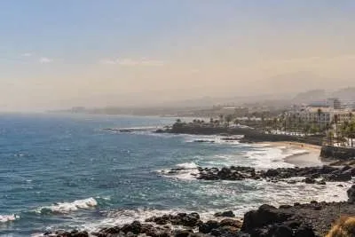
Calima will remain another factor, particularly in Lanzarote and Fuerteventura, where suspended dust could become more noticeable and reach significant concentrations at ground level by Monday evening.
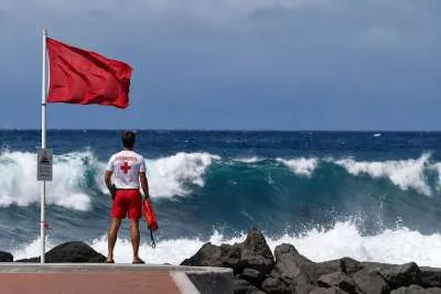
Moderate northeasterly winds are expected across the islands, becoming stronger in exposed areas.
Anyone planning outdoor activities on Monday should keep an eye on updated weather information as the situation develops, particularly in areas where afternoon showers and thunderstorms are possible.
Share: