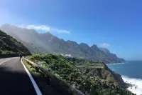

Saturday weather: Cloud and showers before temperatures rise again
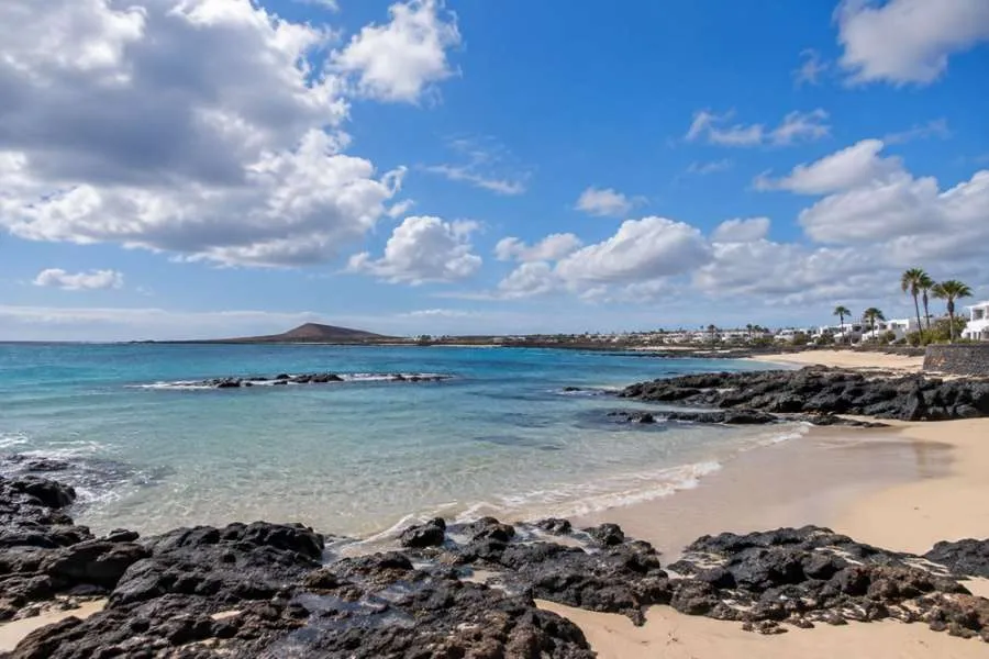
The Canary Islands can expect a relatively settled day today, Saturday, with cloudy skies and occasional light showers in northern areas before temperatures begin climbing again next week.
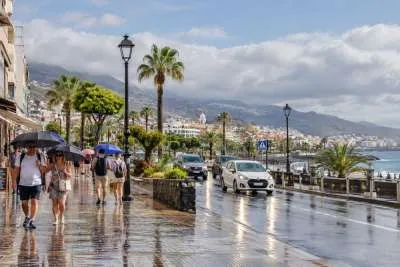
According to AEMET, cloudy intervals will affect much of the archipelago today, with the greatest chance of light and occasional rain across northern parts of the mountainous islands, particularly during the first half of the day.
Conditions should be considerably brighter elsewhere, particularly across the southern tourist areas.
In Tenerife, northern areas will be predominantly cloudy with occasional light rain most likely in higher inland areas of the northeast during the morning. Some sunny spells should develop during the afternoon.
The rest of Tenerife will generally be brighter, although cloud could develop across southern and western areas with a small possibility of an isolated light shower around the middle of the day. Temperatures will remain largely unchanged, with Santa Cruz forecast to reach around 28°C.
In Gran Canaria, cloudy conditions and occasional light rain are again expected across northern areas, mainly over higher inland areas during the first half of Saturday. Southern areas should remain predominantly sunny. Las Palmas is forecast to reach approximately 27°C.
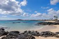
Lanzarote and Fuerteventura will see a mixture of cloud and sunshine, with clearer conditions developing around the middle of the day, particularly across eastern and southern Lanzarote. Maximum temperatures are expected to reach approximately 29°C in Arrecife and 27°C in Puerto del Rosario.
Moderate northeast winds will continue across the islands, easing somewhat later in the day. At sea, conditions will generally be moderate to rough, with a north or northeast swell of around one to two metres.
Heat set to return next week
The more significant change is expected from Monday, when temperatures are forecast to begin rising again.
Current forecasts indicate the increase will be progressive, potentially bringing maximum temperatures of around 34°C to some parts of the Canary Islands by Thursday, accompanied by another possible episode of calima.
Those longer-range temperatures remain forecasts and could change as the week develops.
Importantly, the Canary Islands Government's previous maximum-temperature pre-alert ended at 10:00am on Thursday (17 September), so there is currently no continuation of that particular regional heat pre-alert.
For this weekend, therefore, the picture is considerably calmer: some cloud and light rain in the north, brighter weather across many southern resorts, and temperatures remaining comfortable before the expected warm-up begins.
Share: